
kottke.org
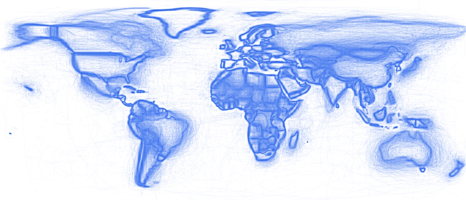
The Collectively Drawn World
The Drawn Maps are the borders of the countries, state, provinces, and other official territories collectively drawn by more than 300,000 people playing an
This site doesn’t allow embedding inside another page — open it in a new tab. Your Weird rating still works from the top bar.
Open source